
Below are links to images of half-inch maps of Ireland relevant to William McKnight Docharty’s list of ‘independent mountains’ and ‘tops’. Some of the maps show here were produced in the years before or after publications, but are still more or less identical in detail, except for the absence of the idiosyncratic box reference system of the maps used by Docharty. This was replaced shortly after his final publication by the now familiar Irish National Grid.
The maps are of varying quality. Some were from the internet (Wikipedia Commons), other from auction/dealership web site images, but the majority have been scanned from origial maps by myself.
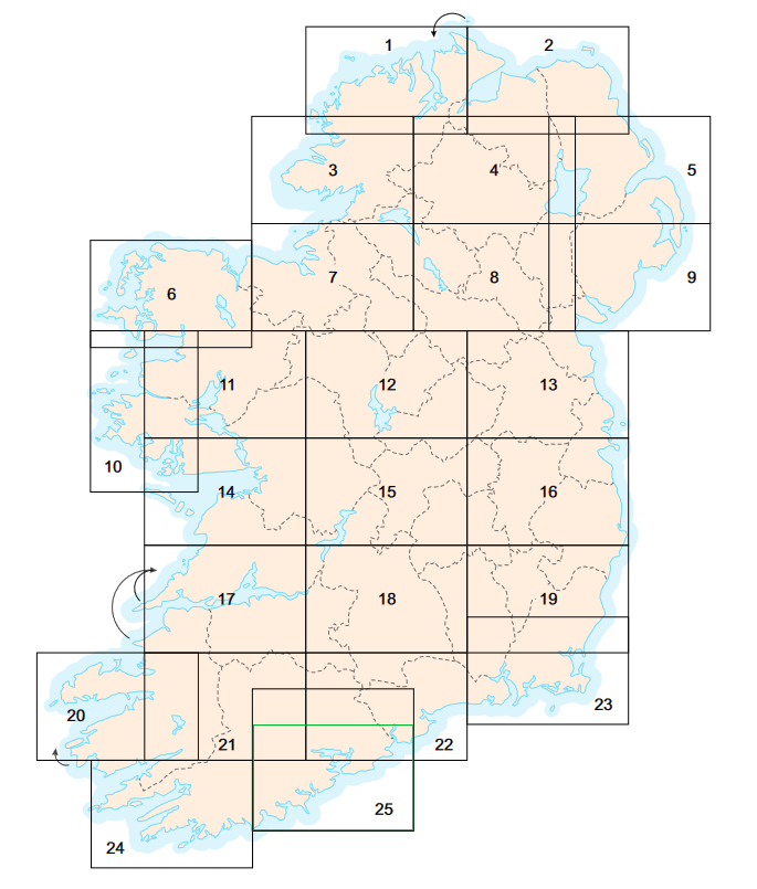
Maps/images acquired:
| No. | Box grid (used by Docharty). | Irish National Grid. |
| 1 | 1952 | |
| 3 | 1951 | 1964 |
| 4 | 1912 | 1964 |
| 6 | 1916 (low resolution) | 1956 |
| 7 | 1918 (low resolution) | |
| 9 | 1938 | 1970 |
| 10 | 1914 | 1965 |
| 16 | 1952 | 1968 |
| 18 | 1951 | |
| 19 | 1956 | |
| 20 | 1916 (low resolution) | 1962 1969 1971 |
| 21 | 1916 | 1960 1964 |
| 22 | 1951 | |
| 24 | 1951 | 1965 |
